
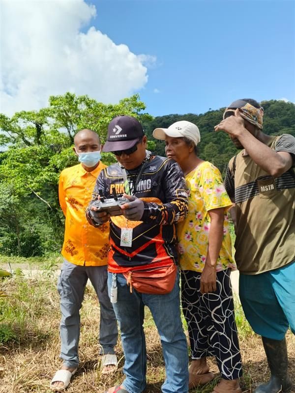
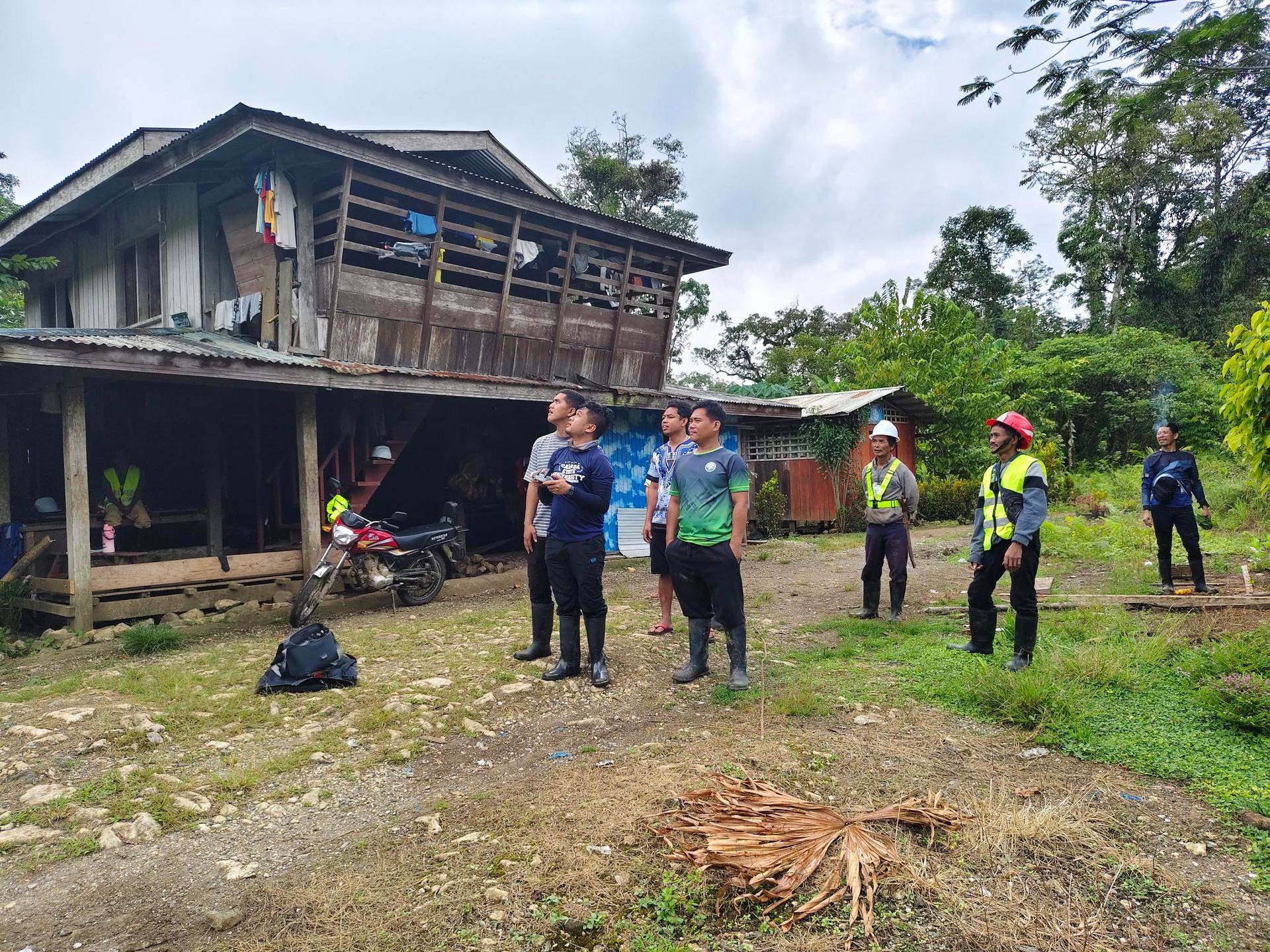
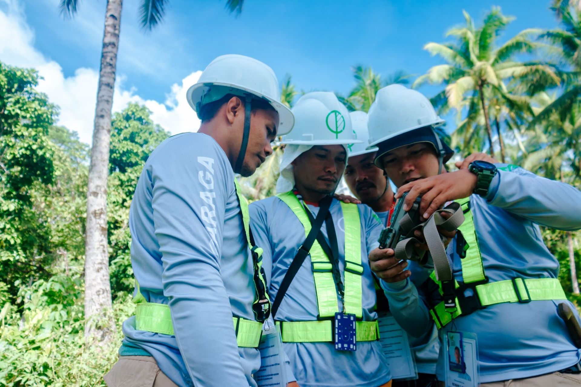
The Biodiversity Team held its Year-End Reporting and Sharing of Outcomes in CADT 210 and CADT 239, in Surigao del Sur bringing together community leaders and partners to review insights from the 4th quarter biodiversity monitoring and discuss next steps for conservation for 2026.

The Project Caraga Scholarship Program officially launched on December 17 at the Caraga State University HERO Learning Commons Board Room with the signing of contracts for its first Indigenous Peoples scholars.
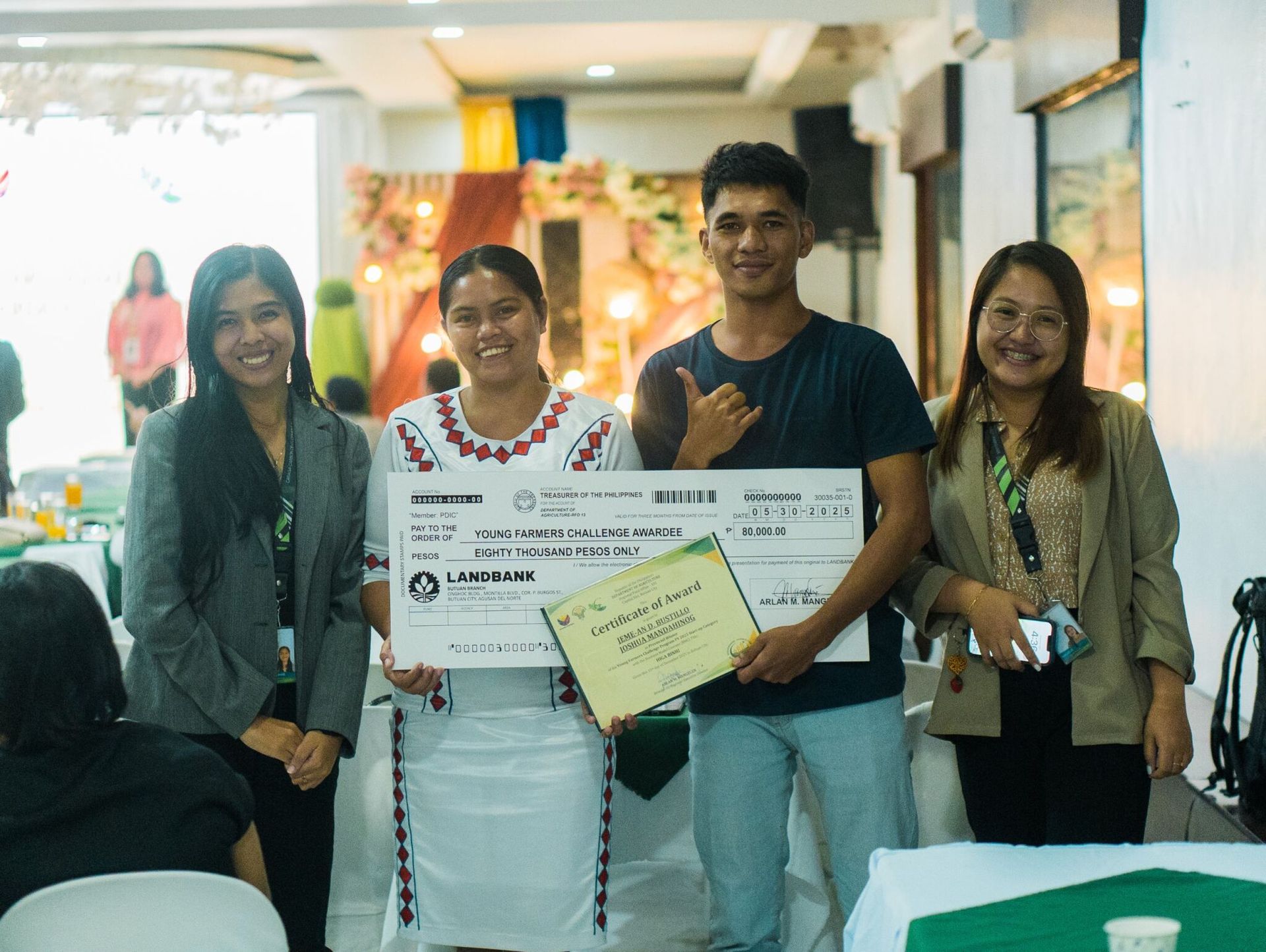
Congratulations to Jeme-An Bustillo and Joshua Mandahinog of CADT 252 for their remarkable win in this year’s Young Farmers Challenge (YFC) held on December 4 at the Grand Palace Hotel, Butuan City. At the YFC 2025 Awarding Ceremony on December 15 at the Balanghai Hotel, Butuan City, winners were recognized and they received their cheques for their proposed projects. Among them, the coffee and cacao nursery initiative of our IP youth, Higa-Binhi, earned ₱80,000 in funding from the Department of Agriculture, support that will help them bring their vision to life.
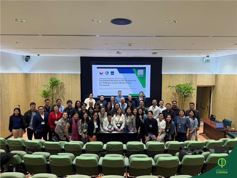
Project Caraga, represented by ecoCarbon Group Chief Markets Officer Sophia Ong and CCDI Deputy Chief Executive Officer Anselmo Cabrera, joined the Consultative Briefing on the Blueprint for the Philippine Carbon Market Policy Framework on December 9, 2025 at the Asian Development Bank in Mandaluyong City.
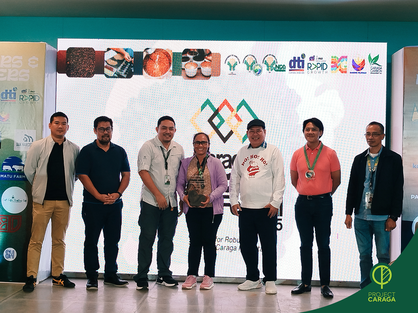
Day 3 of the Caraga Coffee Festival at SM Butuan City, last December 5, 2025, wrapped up the vibrant three-day celebration of Caraga’s coffee industry with a culmination program that brought together growers, local cafe owners, and partners committed to elevating our local coffee produce.
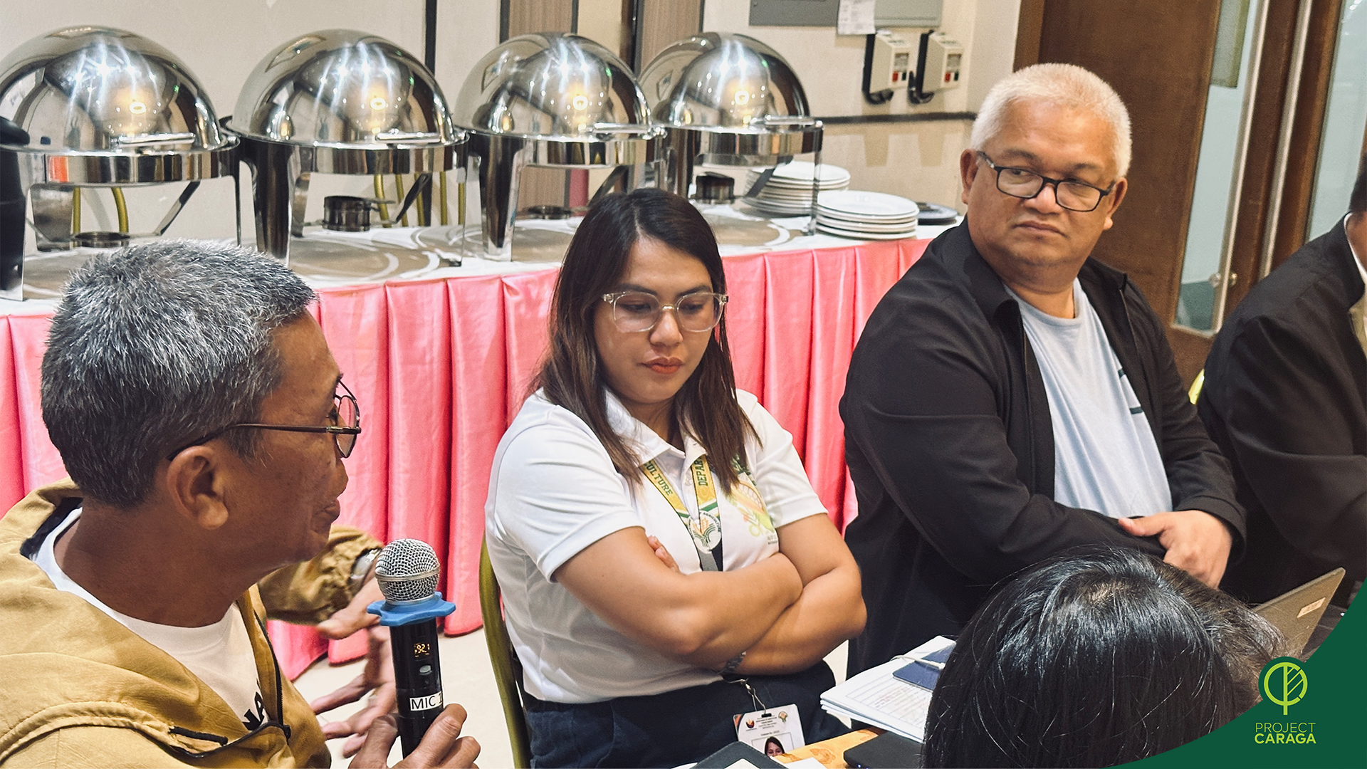
Project Caraga attended the 4th Quarter High Value Crops Sectoral Committee Meeting hosted by the Regional Agricultural and Fishery Council at VCDU Prince Hotel, Imadejas, Butuan City on December 4, represented by Caraga Carbon Development, Inc. (CCDI) Chief Markets Officer Rowil Aguillon.
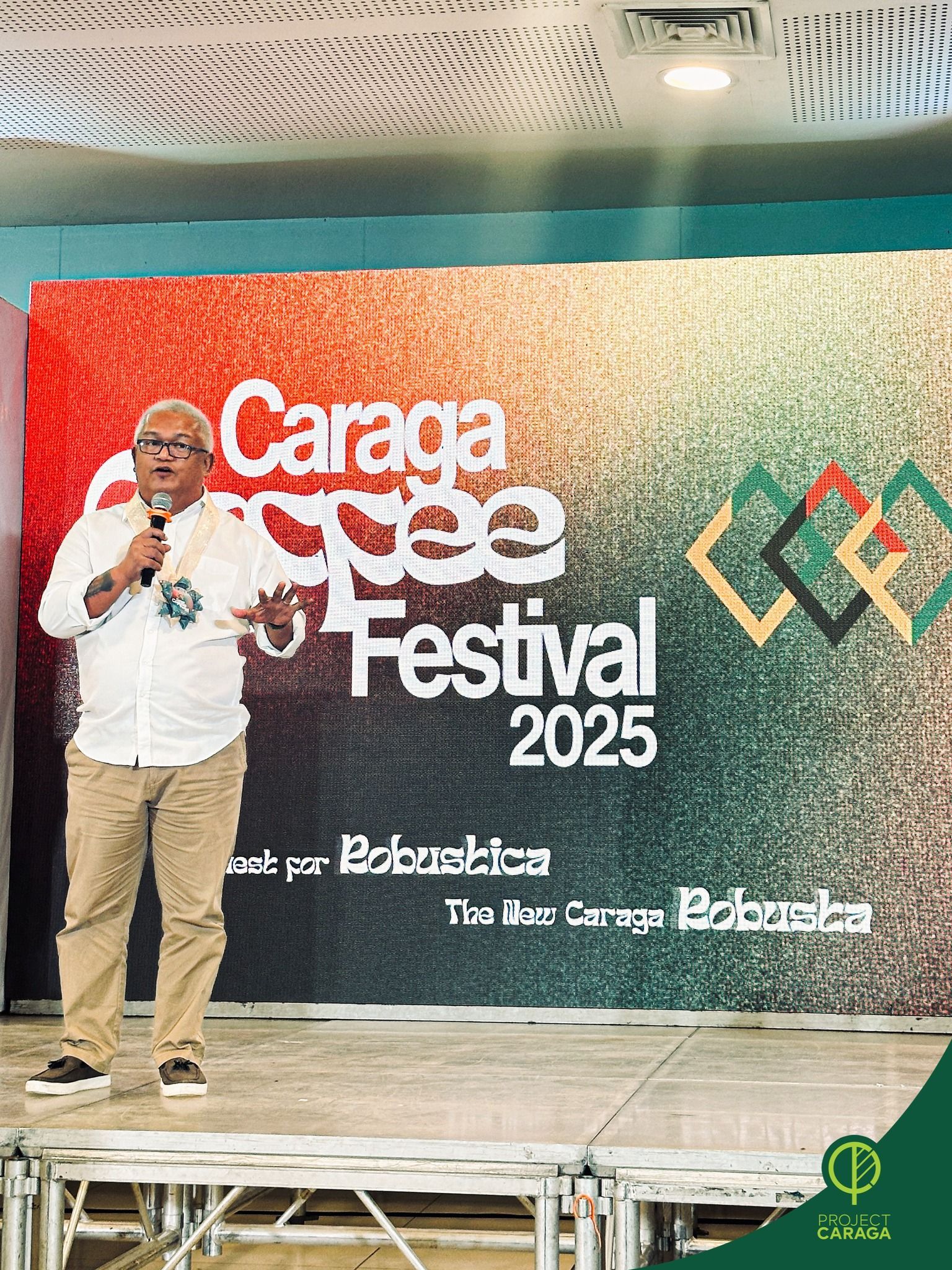
Our partner IP farmers from across Caraga joined the opening of the 2025 Caraga Coffee Festival yesterday at the Event Center of SM City Butuan, a celebration of Caraga’s finest Robusta, that will continue until December 5. For many of them, this gathering is more than an event, but a doorway to new opportunities. Here, they meet potential buyers, connect with local coffee shop owners from Butuan, and learn alongside fellow farmers supported by Department of Trade and Industry (DTI) and Department of Agriculture (DA).
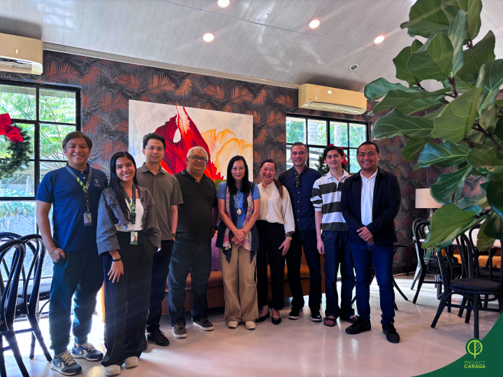
Project Caraga held an exploratory meeting with Sunfood Marketing Inc. (SMI) on December 10, 2025, in Ko’on, Rosario, Agusan del Sur, opening discussions on how both groups can work together to better serve partner Indigenous communities in Caraga Region.
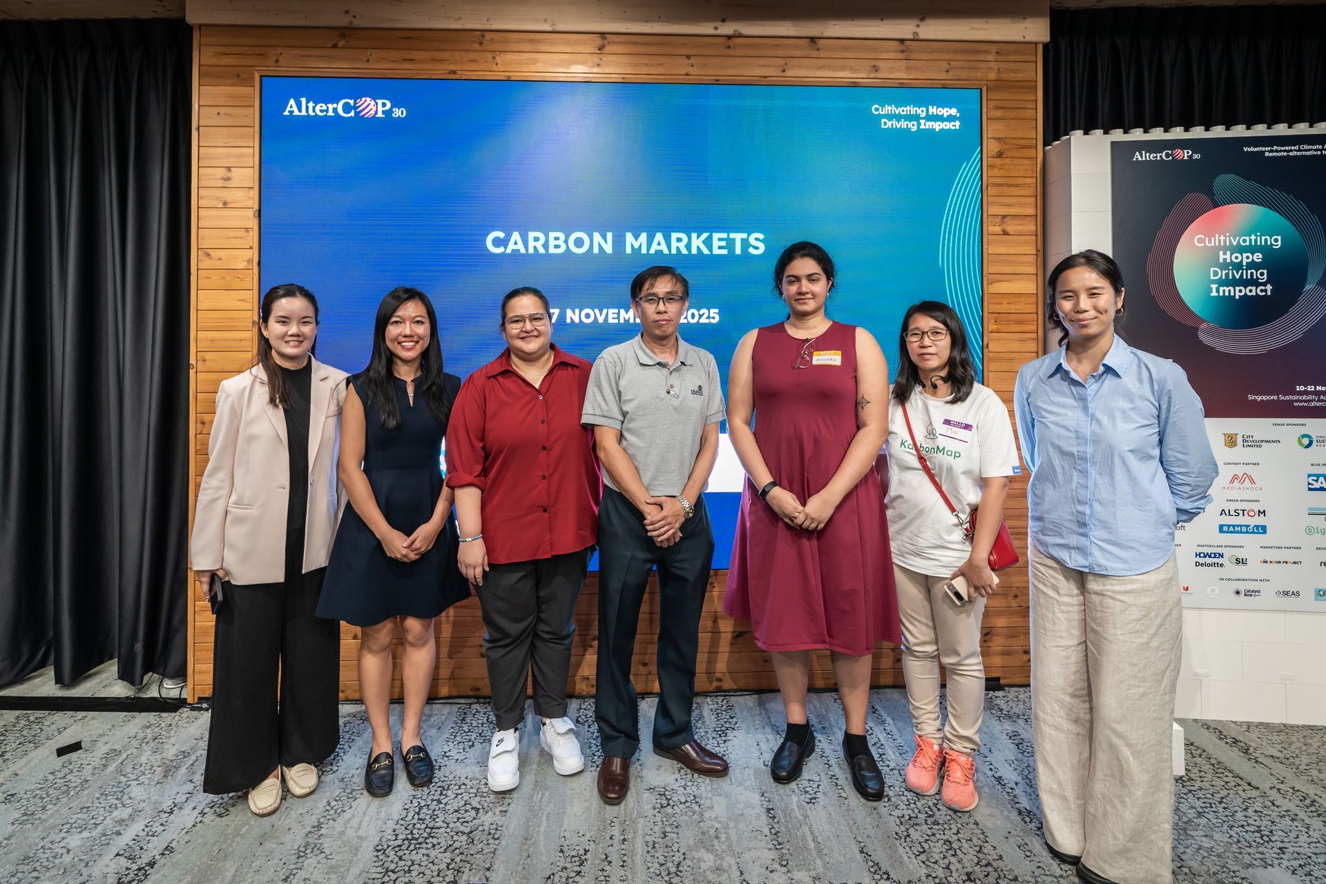
Project Caraga proudly joined global changemakers last November 17 as our Social Impact Lead, Dr. Anushka Rege, represented both the project and ecoCarbon at AlterCOP 30 in Singapore.
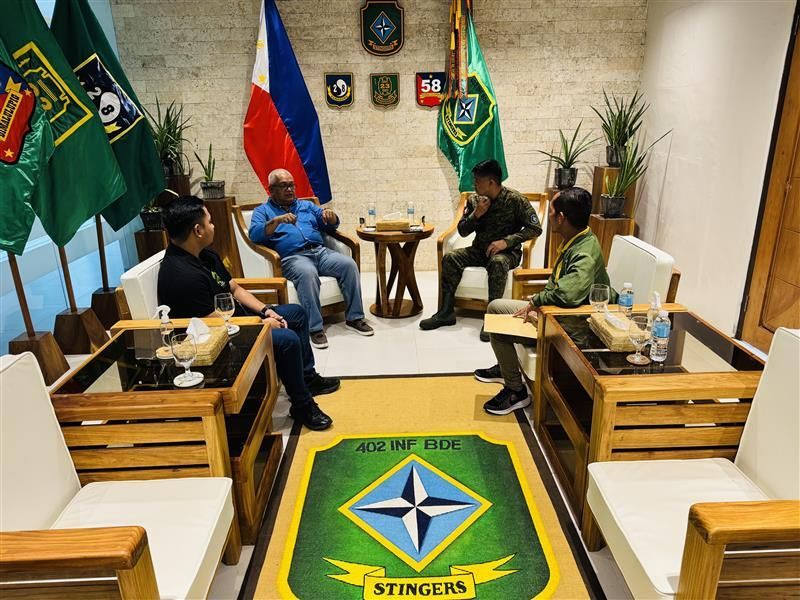
Project Caraga CMO Rowil Aguillon along with our Security Officer Lou Ballescas, and Safety Officer Jhun Aldrin Carias, conducted a series of courtesy visits to key Armed Forces of the Philippines (AFP) units across Agusan del Norte, Surigao del Norte, and Surigao del Sur. The visits included the 402nd Brigade in Bancasi, the 23rd Infantry Battalion in Buenavista, the 901st Infantry Brigade in Placer, the 30th Infantry Battalion in Gigaquit, and the 36th and 75th Infantry Battalions in Carmen and Brgy. Magruyong, respectively.