
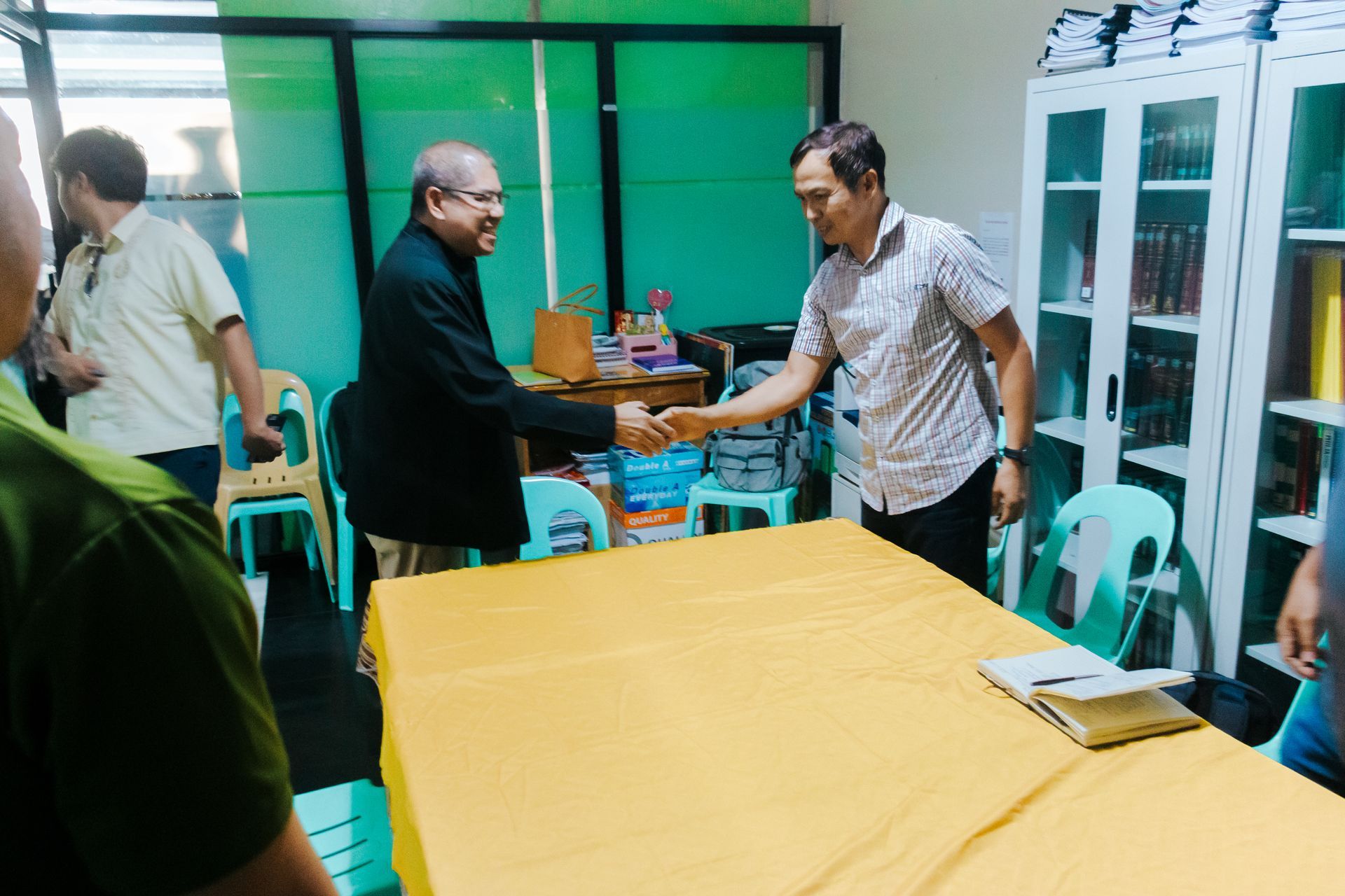
Butuan City, Philippines – July 2025 — In a meaningful step toward deepening partnerships for Indigenous Peoples (IP) development and climate action, Project Caraga paid a courtesy visit to the newly appointed National Commission on Indigenous Peoples (NCIP) Caraga Regional Director, Atty. Julius Mabini, on July 1, 2025.
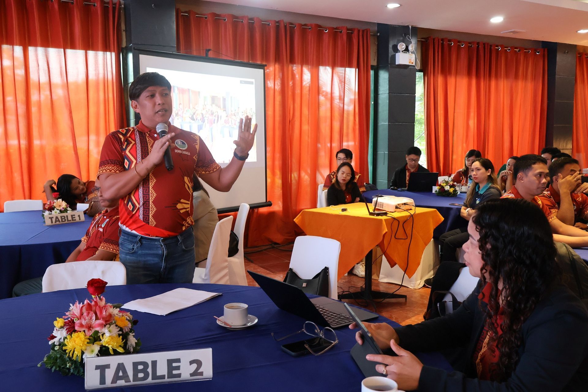
Surigao City, Philippines — In a collective push to strengthen resilience and foster multi-sectoral collaboration in the Caraga Region, Project Caraga actively participated in the recent Project TRANSFORM Stakeholder Consultation held from July 15 to 17, 2025 in Surigao City. Representing the initiative was Owen Jaen , Chief Communications Officer of Caraga Carbon Development, Inc., who joined over 100 stakeholders from government, academe, civil society, and the private sector in shaping the region’s resilience roadmap.
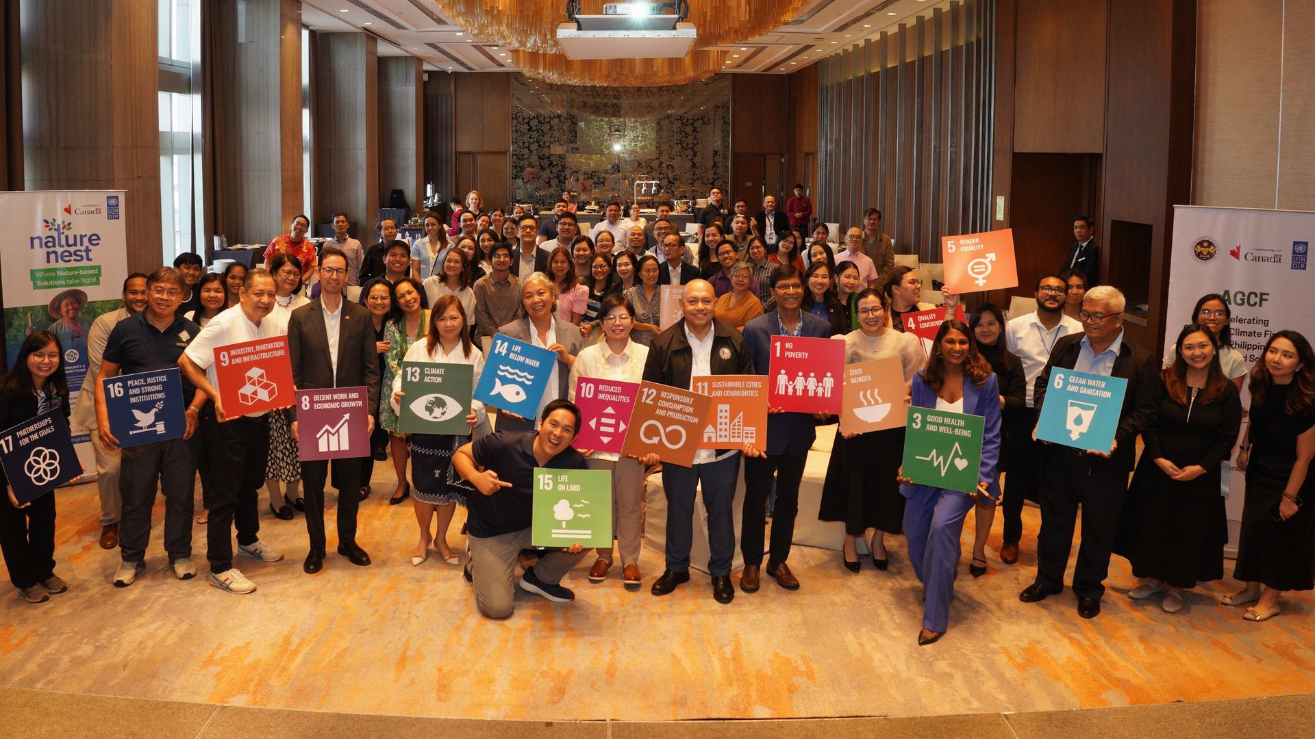
Manila, Philippines – Project Caraga proudly participated in the official launch of the NatureNest Accelerator, a new initiative under the Accelerating Green and Climate Finance in the Philippines: Nature-based Solutions (AGCF) Project. Representing Project Caraga was Rowil Aguillon, Chief Markets Officer of Caraga Carbon Development, Inc., who joined the esteemed panel discussion on “Nature-based Solutions as a Strategic Approach to Achieving Country Priorities and Global Commitments.” The event gathered changemakers and sustainability leaders from across sectors to explore how gender-responsive and community-rooted enterprises are scaling up solutions to address climate and biodiversity challenges through sustainable business models. Funded by the Government of Canada through the Embassy of Canada in the Philippines, and implemented by the United Nations Development Programme (UNDP) in partnership with the Department of Finance, the NatureNest Accelerator is designed and implemented by Villgro Philippines. The program aims to strengthen nature-based solutions (NbS) in the country by supporting enterprises that promote environmental resilience while uplifting livelihoods. Project Caraga’s involvement highlights its growing role in advancing NbS in the Caraga Region and contributing to broader national and global sustainability goals.
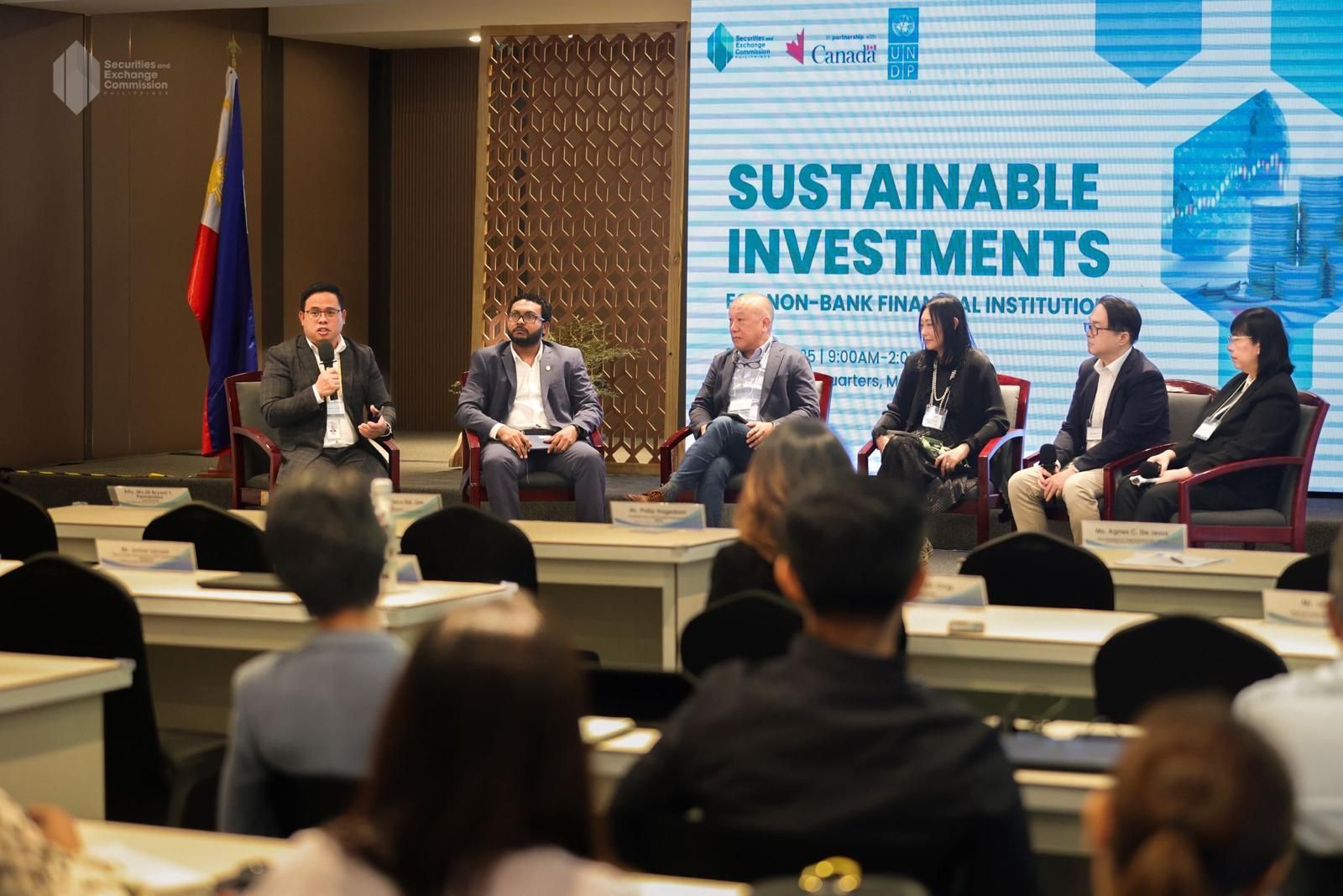
Manila, Philippines - Sophia Ong, Group Chief Markets Officer and Founding Partner of ecoCarbon Capital, recently joined leading regulators, development partners, and financial institutions at the “Sustainable Investments for Non‑Bank Financial Institutions” forum—organized by the Securities and Exchange Commission of the Philippines in collaboration with UNDP and the Embassy of Canada. Held at the SEC Headquarters in Makati City last June 2025, the event convened senior policymakers and private‑sector specialists to explore innovative avenues for mobilizing capital toward the Philippines’ Sustainable Development Goals (SDGs). As a Resource Speaker, Ms. Ong shared ecoCarbon’s market‑based approach to scaling nature‑based solutions—highlighting the critical role that non‑bank financial institutions can play in financing forest conservation, renewable energy, and community‑driven projects like Project Caraga. Drawing on ecoCarbon’s experience structuring carbon‑credit partnerships in the Caraga Region, she outlined key strategies for: De‑risking investments through blended‑finance mechanisms and performance guarantees Integrating environmental, social, and governance (ESG) metrics into lending and investment decisions Engaging Indigenous Peoples and local stakeholders as co‑beneficiaries of conservation finance “By aligning private‑sector incentives with community stewardship and robust monitoring frameworks,” Ms. Ong emphasized, “we can unlock sustainable finance at scale—delivering both measurable climate impact and attractive returns.” ecoCarbon Capital, the crucial markets arm underpinning Project Caraga, continues to pioneer these partnerships—linking international investors, impact‑focused lenders, and Indigenous communities in co‑managed forest‑carbon initiatives. The SEC‑UNDP‑Canada event underscored the potential for broader collaboration: from credit‑rating agencies designing green‑finance products, to non‑bank lenders extending working‑capital lines for eco‑enterprises, all contributing to the Project’s goals of ecosystem protection, sustainable livelihood development, and carbon‑sequestration targets. In recognition of her contribution, the SEC presented Ms. Ong with a Certificate of Appreciation—and in accordance with the “Arbor Day Act of 2012,” will plant 10 Narra trees under her name at the SEC Forest in Angat Rainforest Watershed, Bulacan. This milestone engagement not only amplifies ecoCarbon’s voice in the sustainable‑finance arena but also forges new pathways for public‑private‑community collaboration—essential for achieving the long‑term conservation and development objectives of Project Caraga.
Project Caraga Group, Inc.—the Corporate Social Responsibility (CSR) arm of Project Caraga—has partnered with the Mabuhay Deseret Foundation (MDF), the Philippines’ largest surgical charity organization, to bring much-needed medical services to Indigenous Peoples (IPs) residing within CADT 115 in Surigao del Sur. The recent outreach mission focused on eye health screening and consultation, successfully serving approximately 130 individuals from the partner ancestral domain. With the committed support of Project Caraga’s CADT coordinators, the activity was efficiently organized and warmly received by the local community. More than a medical intervention, the event embodied a shared spirit of compassion and collaboration. MDF’s team of medical professionals provided care with both expertise and empathy—creating meaningful connections and moments of comfort for patients and families alike. This initial engagement marks the beginning of a deeper partnership. The Mabuhay Deseret Foundation has expressed strong interest in expanding its services in the region to include cataract surgeries, as well as treatments for clubfoot and cleft lip conditions—offering transformative healthcare access to underserved Indigenous populations. To formalize this shared commitment, Project Caraga Group and MDF recently entered into a Memorandum of Understanding (MOU), laying the foundation for a long-term collaboration dedicated to improving health outcomes in Indigenous communities. This initiative reflects Project Caraga Group’s enduring commitment to inclusive and sustainable development—ensuring that IP communities benefit not only from environmental programs but also from essential social and health interventions. Together, we take meaningful steps forward—toward healthier, more resilient, and empowered communities.
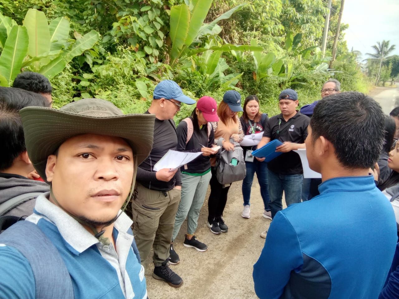
The Forestry Team of Project Caraga has successfully completed a series of capacity-building activities for Indigenous Forest Rangers from the 10 partner Certificate of Ancestral Domain Titles (CADTs) holders across Agusan del Norte, Agusan del Sur, and Surigao del Sur. The initiative aims to increase the capacity of forest rangers in forest protection and enforcement to safeguard their forests through enhanced knowledge on legal and para-legal requirements and the use of forest monitoring tools and gadgets. The training covered critical components such as: Job Orientation and Role Familiarization Basic Paralegal Training in collaboration with the Department of Environment and Natural Resources (DENR) Forest Patrolling and Monitoring using the QField and GPS applications for digital data collection Safety and Security Training to support field preparedness and emergency response These activities serve as a foundational step toward the formal deputation of IP forest rangers by the DENR—as Environment and Natural Resources Officers (DENRO) . Project Caraga remains committed to supporting Indigenous leadership in forest conservation, ensuring that protection efforts are rooted in both traditional knowledge and modern approaches.
Key initiatives under the project include: Reducing deforestation through improved monitoring and community engagement to prevent illegal logging and unsustainable land use. Enhancing biodiversity by protecting critical habitats for wildlife and native flora. Empowering forest communities by promoting sustainable livelihood options and capacity-building programs. With this listing, Project Caraga affirms its commitment to delivering measurable climate benefits while uplifting the lives of indigenous peoples and conserving vital ecosystems in the region. View the official Verra listing here: Project Caraga Verra Listing